
Day 3 of GeoSmart India 2025 organised by Geospatial World brought sharp focus to India’s fast-advancing urban land modernisation mission, with national leaders and technical experts outlining the country’s transition towards unified, high-precision digital mapping. The deliberations underscored that accurate, real-time, and harmonised geospatial layers are now essential to governance, infrastructure development, and the billion-scale digital economy.
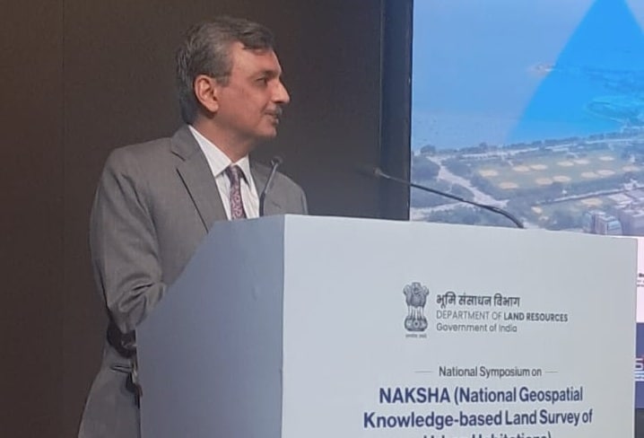
Addressing the inaugural session, Manoj Joshi, IAS, Secretary, Department of Land Resources, underlined that India aims to complete high-precision surveys in 157 cities within the coming months, before scaling up to map 1,000 urban centres within five years. “All states are participating. Large states may have 10 cities in the pilot and smaller ones 1–2 cities, but the goal is uniform: to create updated, accurate urban land records nationwide,” he said.
Joshi highlighted practical barriers, including outdated practices still common across India. He pointed out that in several cities, including Darbhanga and even Alwar, close to Delhi, private surveyors continue to rely on tape-based measurements instead of modern rover-based systems. “This is the time to shift entirely to latitude–longitude based digital sketches for property transactions. Our revenue departments must move away from rough hand-drawn sketches and adopt GIS-linked registration systems. Citizens are moving faster than the government; we must catch up.”
Stronger India
Calling for deeper industry collaboration, he added, “Government officials know very little about GIS; we are learning through trial and error. The private sector must step up to guide us. If India has to build a wider, stronger GIS market, the public and private sectors must work together.”
He also pointed to the economic stakes associated with modern land mapping. “A significant share of India’s economic sentiment comes from land and property values. Someone who bought a property for Rs 50 lakh now believes it is worth Rs 4 crore, and that fuels spending. Yet our documentation system is not keeping pace. It is time for revenue departments to serve citizens better and provide clarity, accuracy, and transparency in property records.”
Offering a detailed technical update, Kunal Satyarthi, joint secretary, Department of Land Records, explained that India’s complex urbanisation patterns require tools beyond traditional surveying. He revealed that the government is piloting a major exercise across 57 cities to integrate registration deeds, municipal tax records and existing land documents into a unified “ProCard”, a single authoritative record mapping ownership down to the apartment level.
Easy peasy
“For the first time, India is producing 5 cm accuracy aerial images using drones, aeroplanes and helicopters. Earlier, surveying a single land parcel could take an entire day. Thanks to the government’s 2014 rollout of the Continuously Operating Reference System (CORS), the same work can now be completed in 10 minutes, with surveyors able to map 200 properties a day,” he noted.
Satyarthi also addressed the challenges of aerial mapping across hilly regions including Kerala, Uttarakhand, Himachal Pradesh, Arunachal Pradesh and Jammu & Kashmir. He shared that the government is deploying advanced oblique cameras, five-lens imaging systems and LiDAR sensors capable of penetrating dense tree cover to extract accurate bare-earth terrain data. “This combination of LiDAR and oblique technology is being tested in 20–30 states to ensure that the right ‘naksha’ can be developed even in the most difficult terrain,” he added.
Delivering the keynote address, Sanjay Kumar, CEO, Geospatial World, emphasised that India has reached a pivotal point where high-quality, real-time, unified digital maps have become indispensable for national planning. “We are in a digital age where location itself has become an economic asset. Whether you are ordering food, booking a cab, or using navigation, your live position creates value. India cannot afford fragmented mapping systems where the same house appears 10 metres apart on water department and electricity department maps. One Nation, One Map is not a slogan, it is a necessity,” he said.
Harmonising data
Kumar added that although India has produced maps for decades, the country has witnessed dramatic changes in cities, agriculture and infrastructure over the past 25 years, making an updated unified digital foundation essential. He stressed that geospatial layers must no longer operate in silos. “Technology today has reached a point where mapping is no longer a challenge; the challenge is harmonising data. From drone surveys to cloud-based AI systems, every department must work on the same foundational reference. Only then can India build a national geospatial ecosystem that supports economic growth, infrastructure planning, and real-time decision-making.”
Also present during the session was Shyam Kumar, director, Department of Land Resources, who oversees key components of the NAKSHA programme and supports coordination between states and central agencies. His presence reinforced the Department’s commitment to ensuring that the technical, administrative and operational elements of urban land modernisation move forward in a structured and time-bound manner.
The session concluded with a unified call to accelerate NAKSHA’s momentum, build modern GIS-based software with multi-layer capabilities covering property, utilities, ownership and buildings, and ensure nationwide satellite base maps with 30 cm accuracy until full resurveys are completed.